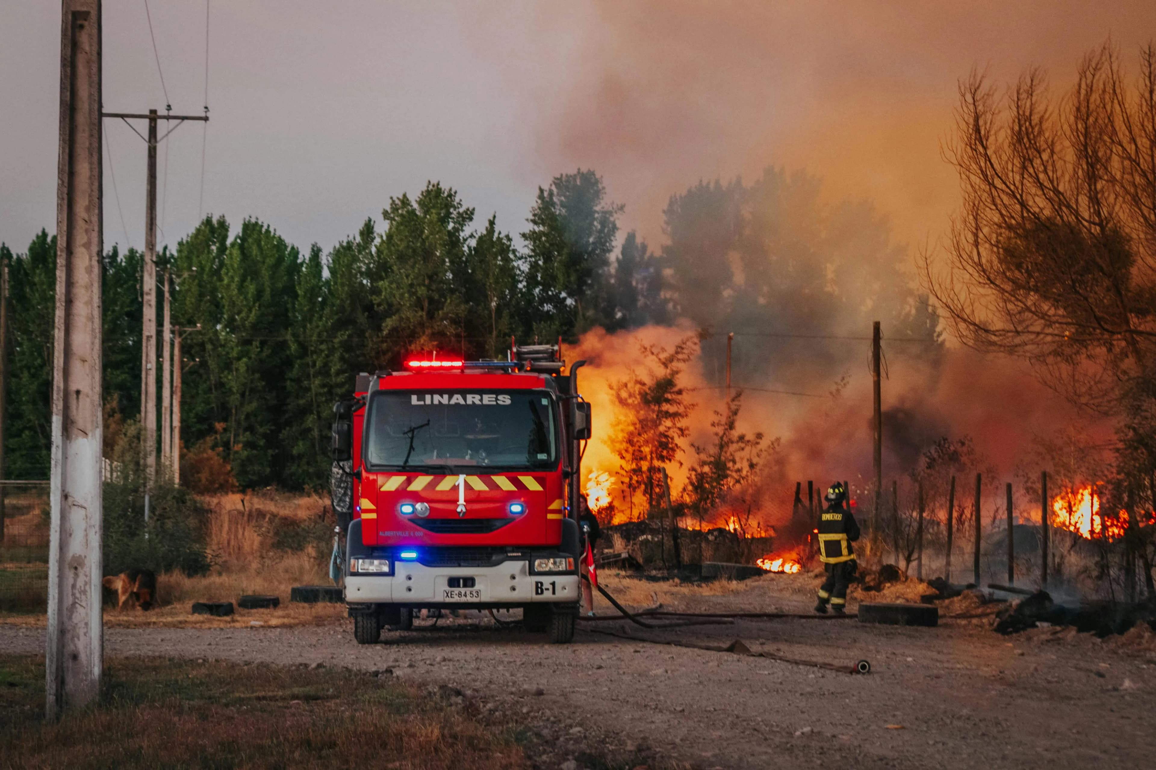
Data-Driven fire safety at your fingertips
Built for Ormoc City residents and the Bureau of Fire Protection to keep every barangay prepared before a fire starts.
Data-Driven
Automated Fire Risk Zoning
Computes scores using the Risk-Vulnerability Checklist to instantly classify communities into official color-coded hazard zones.
Geolocated Incident Reporting
Residents can report active fires via a spatial "Drop a Pin" feature, transmitting exact coordinates directly to BFP dispatchers.
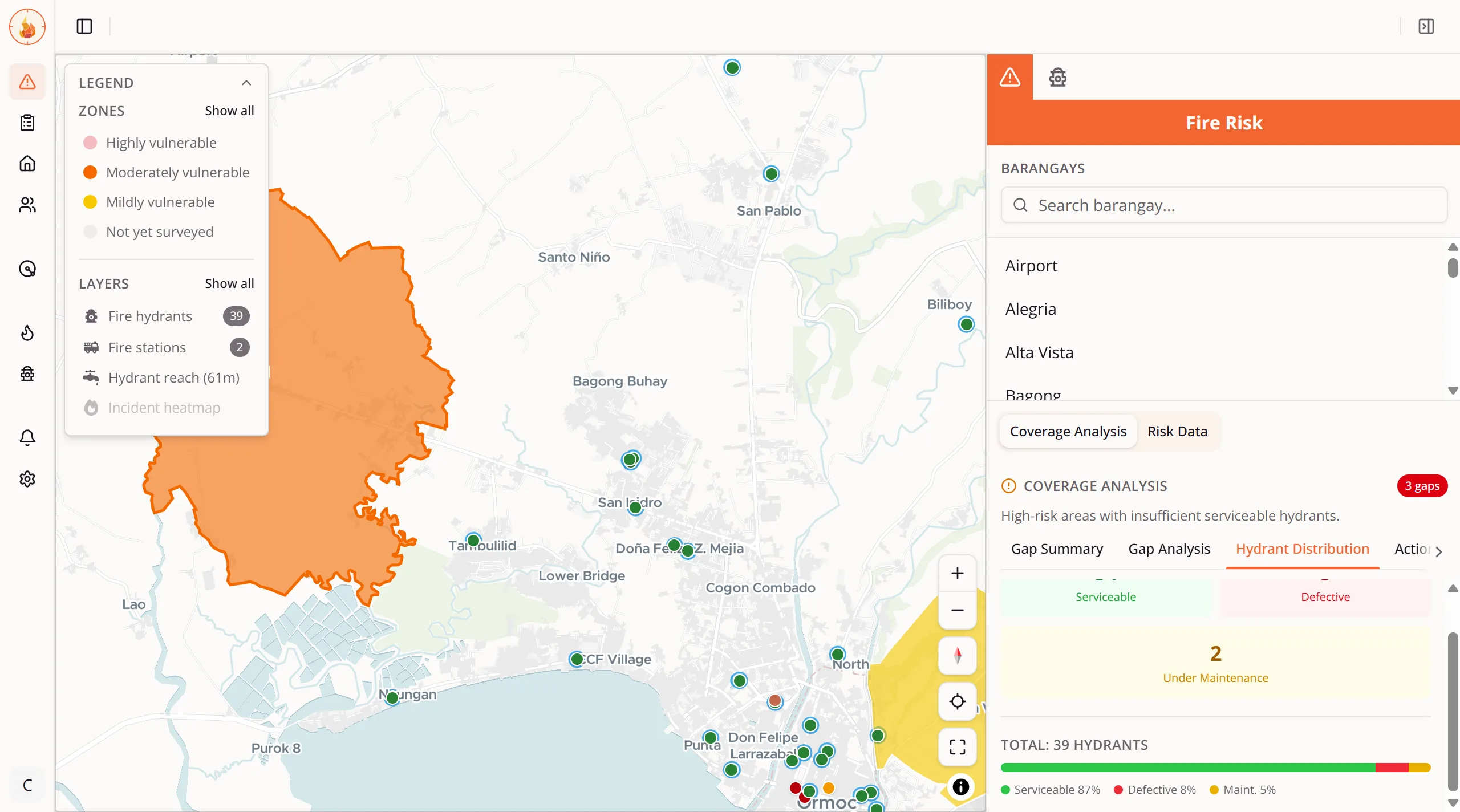
GIS-Based Coverage Analysis
An interactive map featuring isochrone analysis to instantly identify high-risk zones lacking adequate fire hydrant or station coverage.
Community Alert System
A structured pipeline connecting citizens to BFP dispatchers and field responders.
Fire Safety Map
Locate critical emergency infrastructure. Use the interactive map to find your nearest functional fire hydrants, fire stations, and designated evacuation centers across Ormoc City.